We have traveled many times to California (most pre-blog or even, egads, pre-Internet) but this was our first visit to the coast in the San Francisco Bay area in several years. It’s worth renting a car, or a bike for those so inclined, to explore the region.
The similarities to parts of the Scottish coast were striking, reinforced by the influence of early Scottish settlers on the nomenclature of the region. There is a waterfront area called Loch Lomand, though it’s really an inlet of San Rafael Bay and not a lake. Another swath of the county is known as Inverness. A lot of Scots were among the many people that flocked to California during the Gold Rush era.
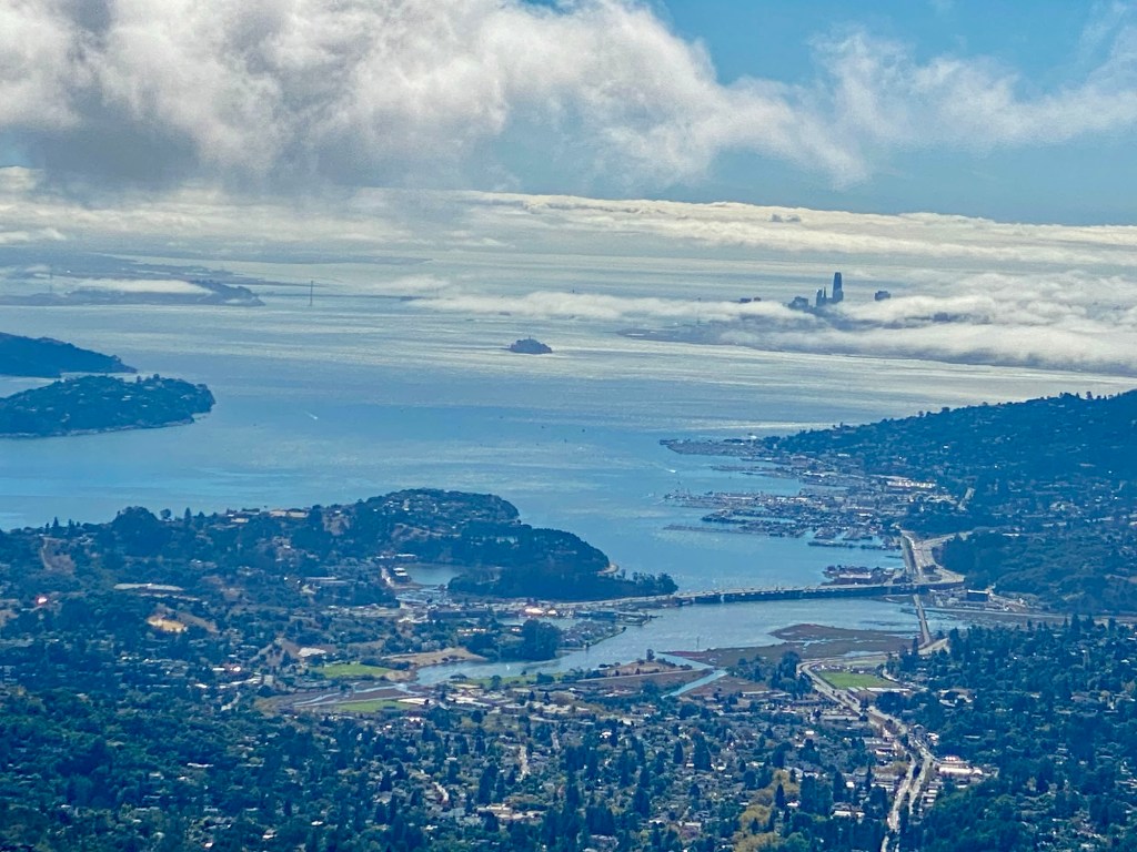
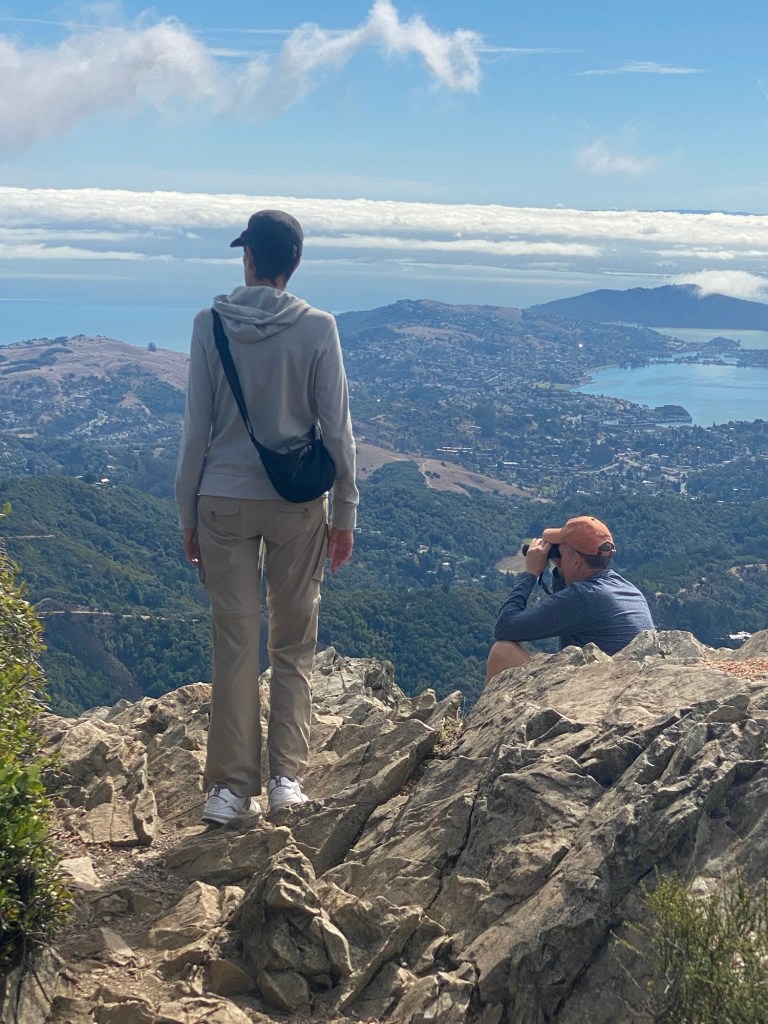
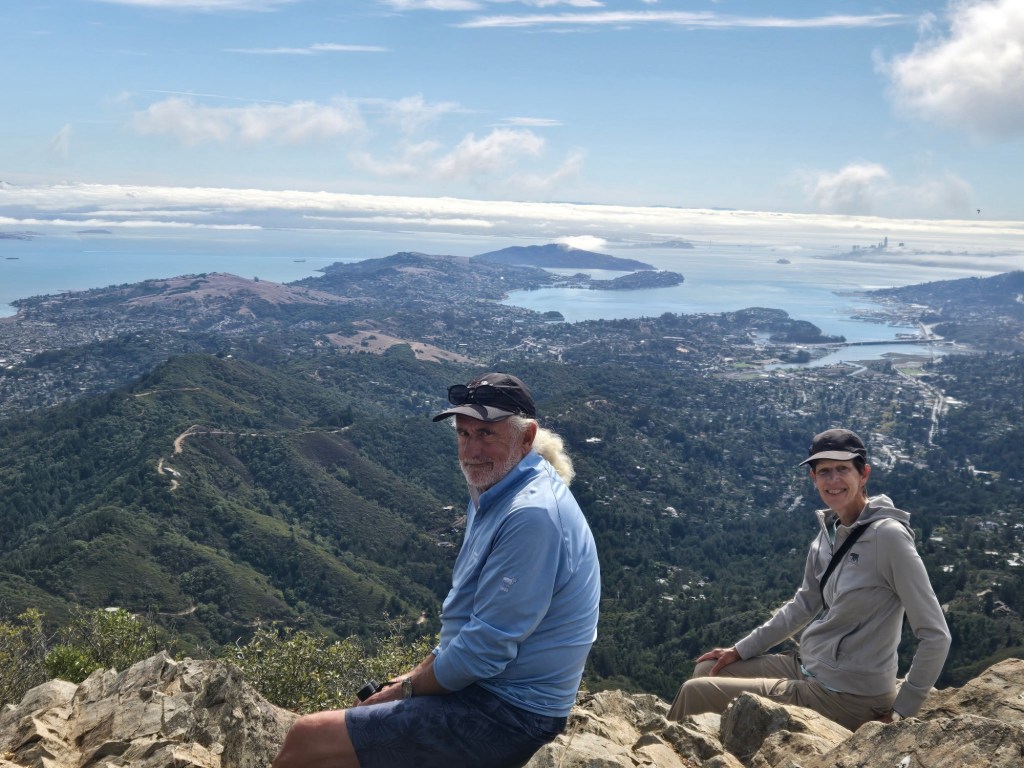
We started off with a drive to the top of Mount Tamalpais in the Mill Valley. The 2,579-foot peak is mostly a state park that is popular with cyclists and hikers, with numerous trails of varying length. If you are fortunate enough to catch a clear day as we did, Mount Tam as it is locally known, provides stunning views of the surrounding area. Sir Francis Drake was an early explorer.
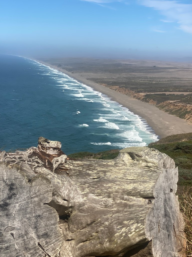
Next up was a drive through the Point Reyes National Seashore and a visit to the Point Reyes lighthouse. The area is characterized by sweeping grasslands and hillocks that led to a rugged beach. It is now largely a national park but was previously ranch land. The remains of former ranches are still visible.
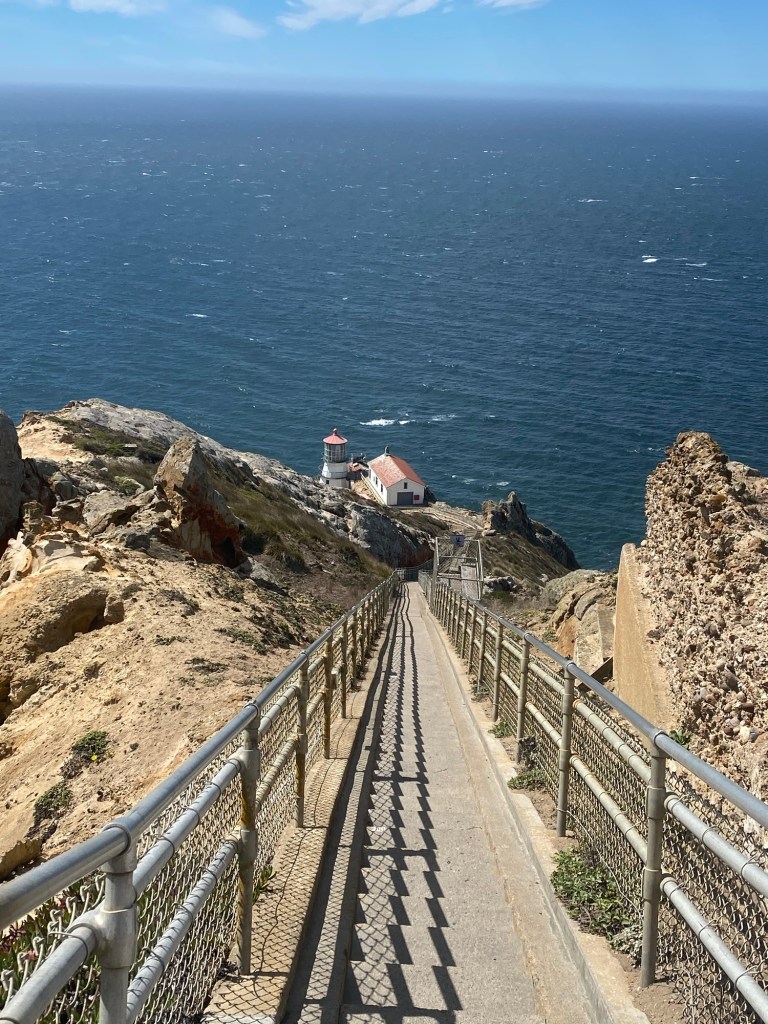
A highlight of the area is a visit to the Point Reyes lighthouse. In the days of sailing ships the waters around Point Reyes were among the most treacherous in North America due to the high winds and fog. The area is the second foggiest spot in North America after a location in Labrador.
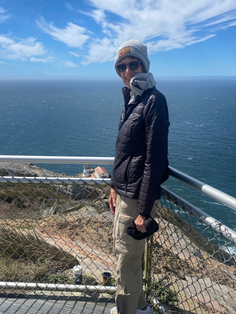
We were fortunate to catch a clear day, but winds were consistently above 40 MPH, so the 300-plus steps down to the lighthouse were closed by park rangers. Why descend to a lighthouse? Because the light on high ground could not be seen by ships at sea in the fog.
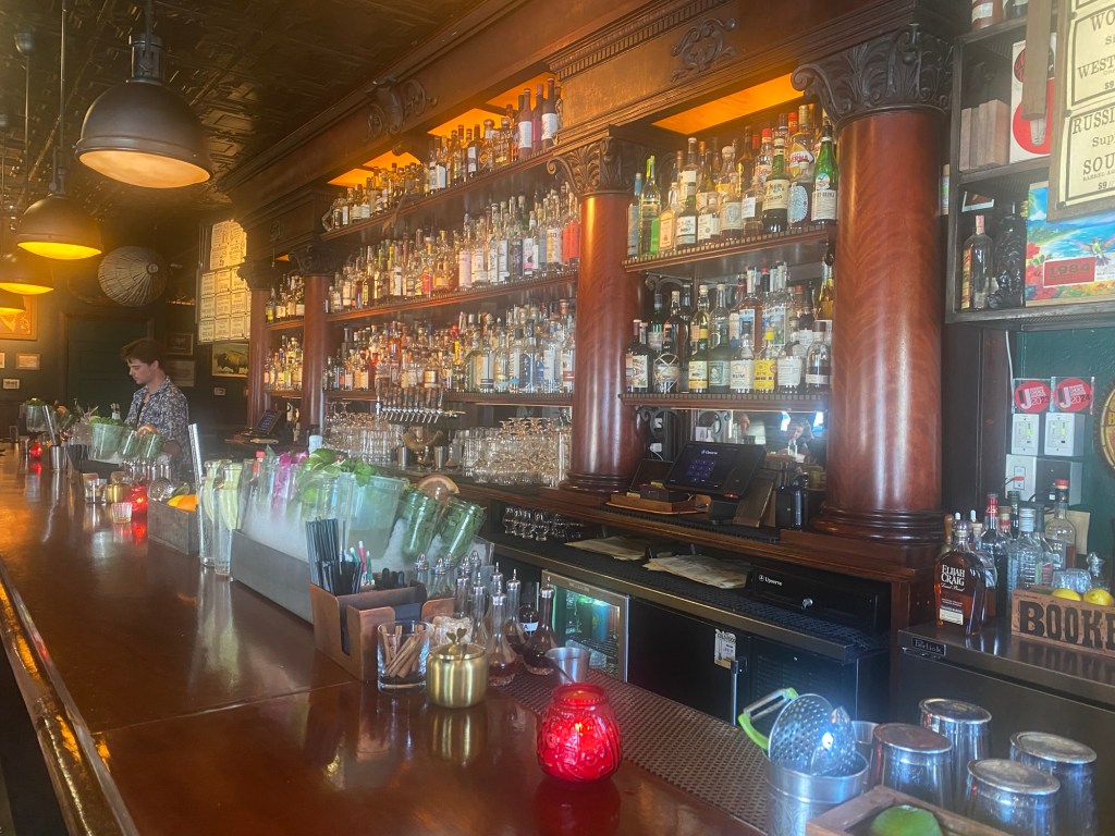
We wrapped up the day with a stop at a preferred watering hole in San Rafael, Golden Hour. It was a good day.


amazing scenery and to think I have family living right here
LikeLike
I’m extremely happy that you found a well stocked watering hole! CHEERS.
LikeLike